Book Tickets Online
About
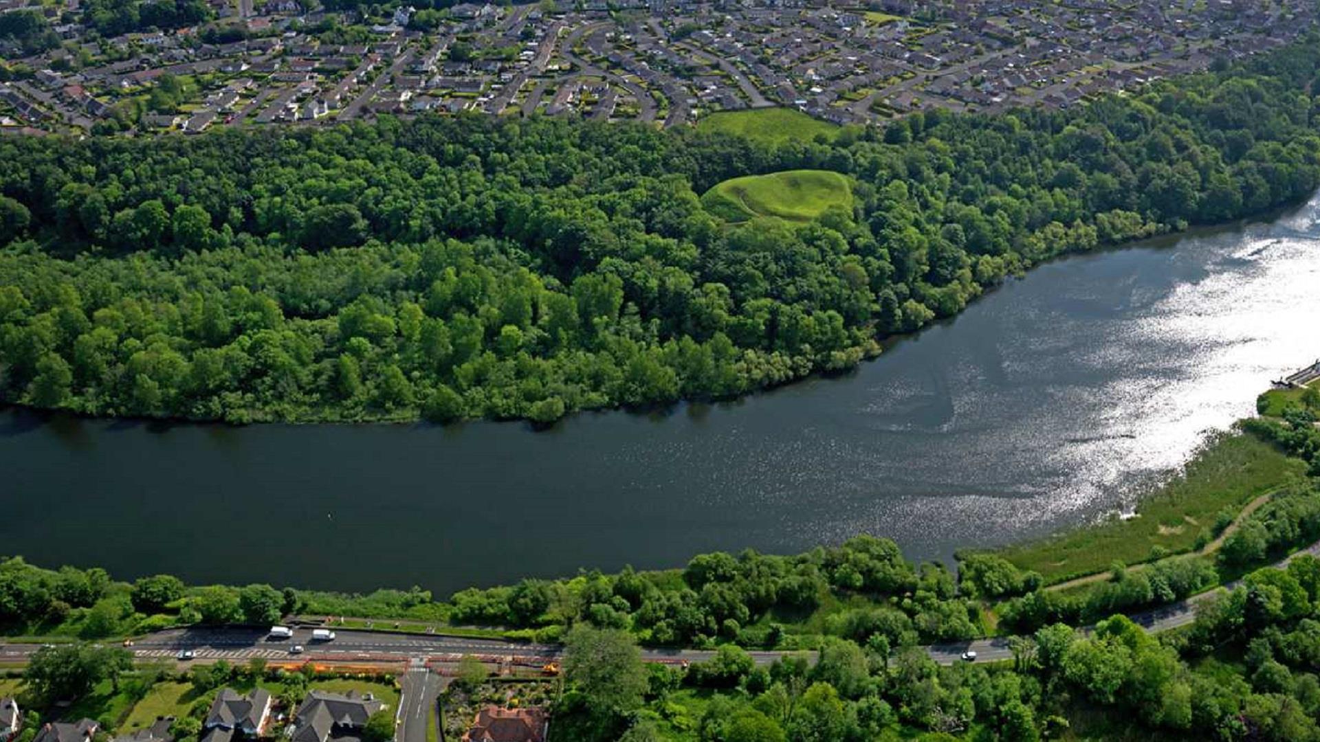
Within Mountsandel Wood there are two linear paths; one along the top of the slope and the other at the foot of the slope, partly following the line of the River Bann.
Walkers can combine the two paths to form a circular route, or make use of the steps at the Anglo-Norman Fort to create alternative shorter circular routes. Mountsandel Wood covers approx. 21 hectares stretching about one mile along the eastern bank of the River Bann to the south of Coleraine.
Within the Wood it is possible to visit Mountandel Fort, an excellent example of an Anglo-Norman fort. Also, immediately adjoining the fort site, just on the boundary of the Wood, is the Mesolithic excavation site, site of the earliest known settlement in Ireland. Please note: these walks are situated in a working forest environment and may be subject to diversion and closure from time to time (up-to-date information is available on the Forest Service web site - www.nidirect.gov.uk/articles/somerset-forest).
Facilities
Parking & Transport
- Car parking
- Parking (free)


